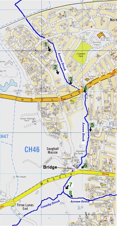
We've seen where the Arrowe Brook joins the River Birket which heads east to Bidston and the West Float in Wallasey. We can now head back to where the Arrowe Brook passes under the West Kirby to Liverpool railway line and follow its path in a southerly direction towards its source.
|
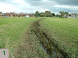
As we move inland, we move away from what is, essentially, a reclaimed flood plain and the density of the housing naturally
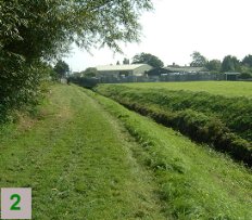
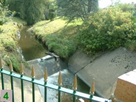
increases. It becomes impossible to follow the brook much beyond photo 4 but, we can follow Acton Lane and Saughall Road on foot to Saughall
Massie Bridge and walk back for photo 5.
|
 | 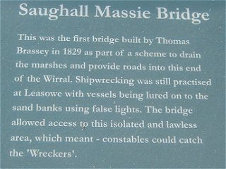 |
Until about 1996, Saughall Massie Road (B5192) was a picturesque lane and Saughall Massie Bridge was
part of a pleasant walk.
Today, the road has been widened and straightened from Pump Lane to Upton and, at times more closely resembles a race track than the pleasant lane it once was. |
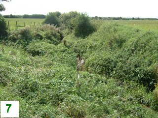
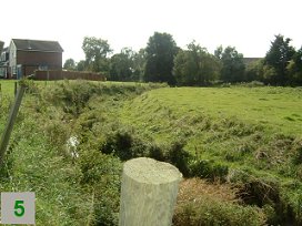
Although very difficult to see in this photo, this is where the Greasby and Arrowe Brooks join.
Hover your mouse over the photo to show the brooks! |
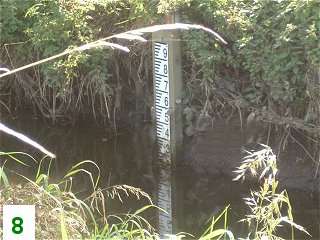
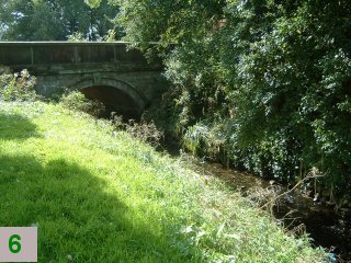
Still heading upstream, the Arrowe Brook turns east and heads towards Upton. The height guage was probably totally submerged during the flooding of 5th September.
|
<< Back | To be continued...